
The MTB Expert Itinerary of the Sicily Parks Cycle Route is not just a mountain bike trail — it’s a full immersion into the raw and untouched soul of inland Sicily. Stretching nearly 300 kilometers with over 6,800 meters of elevation gain, this route is designed for expert cyclists seeking physical challenge, technical variety, and a deep connection with nature.
The journey begins on the slopes of Mount Etna, where lava trails, ancient woods, and panoramic ridgelines shape the initial landscape. From there, the path plunges into the Alcantara Valley, where black basalt roads wind alongside crystal-clear waters and deep gorges carved by centuries of volcanic activity.
Heading west, the route enters the Nebrodi Mountains — the largest and greenest natural park in Sicily. Here, dense beech forests and high-altitude pastures stretch as far as the eye can see. Dirt tracks and forest trails rise and fall through remote areas where herds of cattle and wild boars roam freely. The terrain alternates between compact gravel, rocky mule tracks, and sections where dismounting and pushing the bike is necessary — but the reward is always worth it: silence, solitude, and breathtaking views that suddenly open up, revealing the vast beauty of the island.
Small mountain villages like Randazzo, Cerami, and Mistretta offer brief moments of civilization — places to rest, refuel, and savor the local culture. In these timeless towns, among stone houses, family-run bakeries, and sleepy squares, one realizes that inland Sicily moves to its own rhythm, far from tourist routes.
The final section of the route enters the Madonie Park, a breathtaking landscape of limestone peaks, high plateaus, and winding forest paths. Picturesque villages like Gangi and Petralia Sottana cling to the mountains with spectacular views over the valleys below.
Finally, the terrain softens and the trail begins its descent toward the Tyrrhenian Sea. The journey ends in the coastal town of Cefalù, where the sight of the sea and the sound of the waves mark the end of an extraordinary adventure. With its medieval alleys and UNESCO-listed Norman Cathedral, Cefalù is the perfect place to reflect on the path taken — a journey that tested your endurance, rewarded your curiosity, and revealed the hidden heart of Sicily.
This MTB itinerary is made for those who seek effort and wonder, who don’t mind dust on their legs or mud on their wheels, and who know that the most unforgettable roads are often the hardest to reach. The Sicily Parks Cycle Route by MTB is wild, remote, and absolutely unforgettable.
Plan your adventure day by day with clear guidance on what to expect — distance, terrain, and key highlights for each stage.
This section enters one of the most remote and pristine areas of northeastern Sicily. Leaving Francavilla, the trail climbs steadily toward the Malabotta Forest Nature Reserve — a protected area known for its ancient oaks and beeches, dense vegetation, and occasional sightings of wild boars and birds of prey. The terrain alternates rocky forest roads, compact dirt, and technical climbs that demand endurance and good balance. The route skirts the famous Argimusco megaliths, often called “Sicily’s Stonehenge,” offering, on clear days, panoramic views of Mount Etna and the Tyrrhenian coast. Continuing west, you reach the highland village of Floresta — the highest town in Sicily at 1,275 meters above sea level. Surrounded by windswept mountain pastures and ridgelines, Floresta is a key rest and resupply point. This segment features significant elevation, exposed sections, and variable weather, making it one of the most physically demanding yet scenic parts of the entire route.
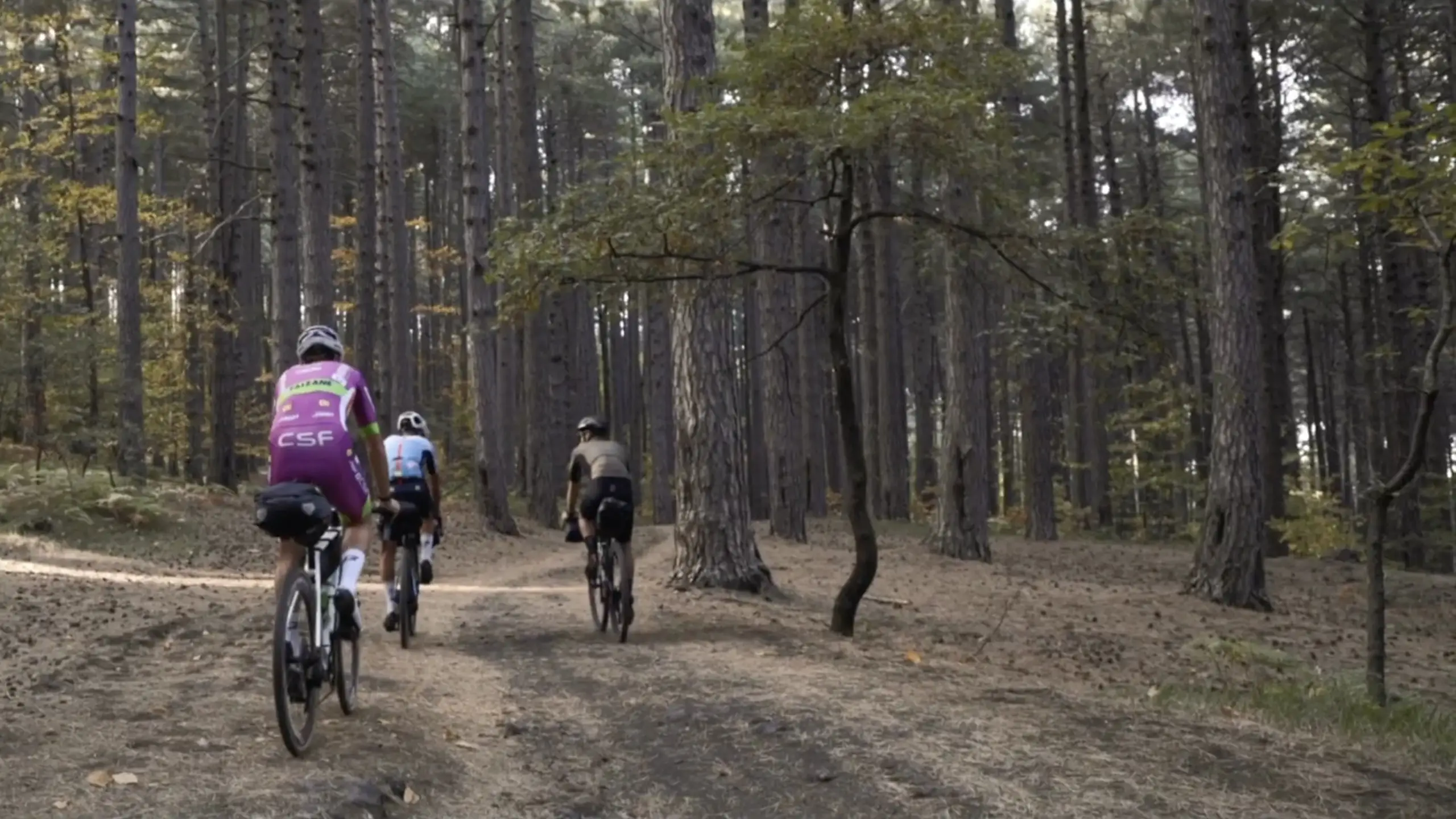
This section enters one of the most remote and pristine areas of northeastern Sicily. Leaving Francavilla, the trail climbs steadily toward the Malabotta Forest Nature Reserve — a protected area known for its ancient oaks and beeches, dense vegetation, and occasional sightings of wild boars and birds of prey. The terrain alternates rocky forest roads, compact dirt, and technical climbs that demand endurance and good balance. The route skirts the famous Argimusco megaliths, often called “Sicily’s Stonehenge,” offering, on clear days, panoramic views of Mount Etna and the Tyrrhenian coast. Continuing west, you reach the highland village of Floresta — the highest town in Sicily at 1,275 meters above sea level. Surrounded by windswept mountain pastures and ridgelines, Floresta is a key rest and resupply point. This segment features significant elevation, exposed sections, and variable weather, making it one of the most physically demanding yet scenic parts of the entire route.
This segment follows the rugged Nebrodi Ridge, the mountainous backbone of Nebrodi Park. Cyclists face continuous elevation changes on irregular terrain, including rocky trails, forest paths, and narrow singletracks winding through Mediterranean scrub and beech woods. This route demands solid technical skills and good physical endurance, passing through wild and remote zones with limited access. Nearing the historic town of Capizzi, perched on a hilltop, the trail shifts to rural roads and stone-paved streets. Capizzi offers a valuable opportunity for rest and resupply, among traditional Sicilian architecture and panoramic views of the Nebrodi valleys. This stage combines physically tough climbs with technical descents, providing a complete challenge amid extraordinary natural beauty.
The fourth section starts with a tough exit from the dense forests and rugged terrain of the Nebrodi Park, where riders face steep descents and technical switchbacks on rocky and uneven trails. Entering Madonie Park, the landscape changes drastically to limestone peaks, alpine meadows, and sparse pine forests. This stretch requires precise riding and physical strength to tackle both sharp climbs and fast, exposed descents. The trail passes through the mountain village of Gangi, perched on a rocky outcrop, offering a key stop with access to essential services. The approach to Gangi features a mix of dirt roads and technical singletracks, providing varied terrain that challenges the rider’s skills and endurance — but rewards with sweeping views of the Madonie mountain range.
This segment crosses the rugged terrain of the Madonie Mountains, starting from Petralia Soprana and descending toward Petralia Sottana. Cyclists navigate a mix of narrow technical trails, rocky paths, and steep forest tracks requiring strong bike control. The route passes near the Madonna dell’Alto Sanctuary, a significant pilgrimage site located on a hillside, combining cultural interest with a demanding ascent. Continuing toward Portella Colla, the trail features long climbs and exposed ridges on mixed terrain, including loose gravel and compact dirt. The section ends at Piano Battaglia, a high-altitude plateau known for its ski facilities and breathtaking panoramic views. This challenging stretch demands endurance and technical precision but rewards cyclists with stunning mountain scenery and varied trail conditions.
The final section descends from the Madonie Plateau to the Tyrrhenian coast, starting with a technical descent through mixed forest trails and rocky sections that lead to Mandria del Conte Lake — a small mountain lake nestled in a natural basin. Cyclists face varied terrain, including loose gravel, roots, and occasional rock passages that require precise line choice and strong bike control. Further downhill, the trail passes near the historic San Giorgio Monastery, an ancient monastic complex perched on a slope, offering a brief cultural interlude amid the wild landscape. The final approach to Cefalù alternates between paved and dirt sections, with rolling terrain requiring constant effort before opening up to the stunning coastal town. The stage ends in Cefalù, where cyclists are rewarded with sea views and the iconic Norman Cathedral — marking the end of a challenging and diverse mountain bike journey through Sicily’s varied landscapes.
Bike-friendly hotels near your route with secure storage and easy trail access. Rest, recharge, and ride on!
